-
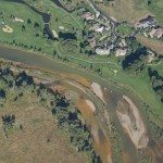
- Sediment deposition visible along banks of Animas north of Durango.
-
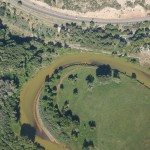
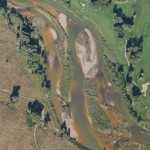
- Sediment deposition visible along banks of Animas north of Durango.
-
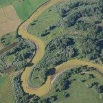
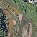
- Sediment deposition visible along banks of Animas north of Durango.
-
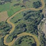
- Sediment deposition visible along banks of Animas north of Durango.
-
- Sediment deposition visible along banks of Animas north of Durango.
-
- Sediment deposition visible along banks of Animas north of Durango.
-
- Sediment deposition visible along banks of Animas north of Durango.
-
- Animas River north of Durango at Trimble Lane crossing.
-
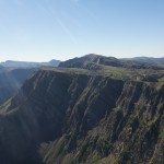
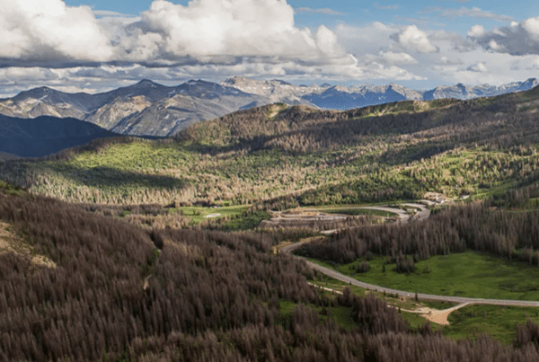
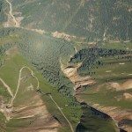
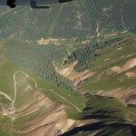
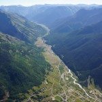
- In the Animas River valley north of Durango looking east into Weminuche Wilderness.
-
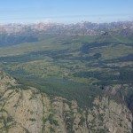
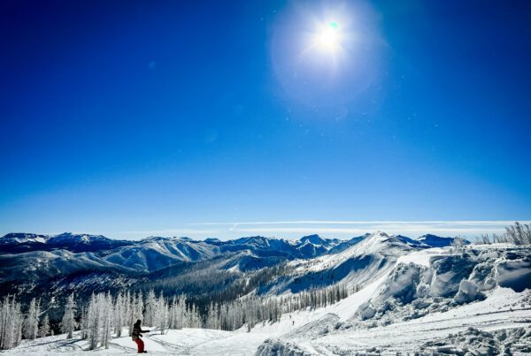
- Looking west from above the Animas River valley near Molas Pass. Andrews Lake visible.
-
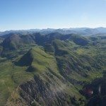
- Very green for August as a result of our wet spring and summer.
-
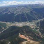
- The town of Silverton. Cement Creek enters photo upper right. North Fork of Animas River enters from upper left.
-
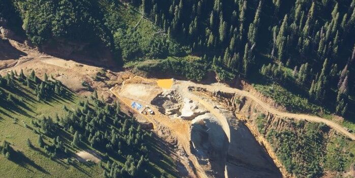
- Gold King Mine – center of photo.
-
- Gold King Mine – center of photo.
-
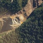
- Gold King Mine – center of photo.
-
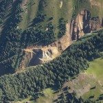
- Gold King Mine – center of photo.
-
- Gold King Mine – center of photo.
-
- Gold King Mine – center of photo.
-
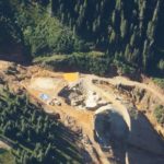
- Gold King Mine – center of photo.
-
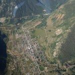
- The town of Silverton looking northwest.
-
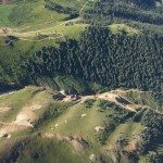
- Looking NE from Silverton at mine tailing piles from Sunnyside Mine.
-
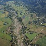
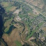
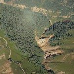
- Animas River Valley north of Durango.
-
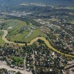
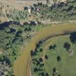
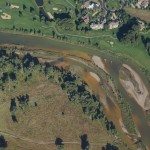
- Animas River just north of Durango and 32nd Street bridge.
-
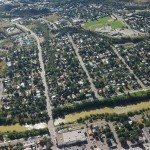
- The Animas River at 32nd Street bridge in Durango.
-
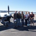
- The flyers – from left to right: Dan Olson (San Juan Citizens Alliance); Peter Butler (Animas River Stakeholders Group); Jonathan Thompson (High Country News); Grace Hood (Colorado Public Radio); Mary Shinn (Durango Herald); and Aaron Kimple (Mountain Studies Institute – not on flight).
-
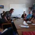
- Post flight debrief and q/a.